
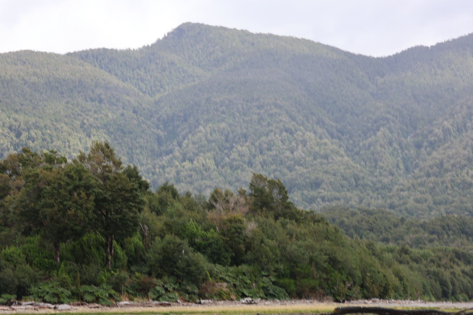
The Carretera Austral is the only road running north to south through Chilean Patagonia. It is also a road most people overestimate in one way and underestimate in two others.
They overestimate its length, because 1,240 kilometres sounds like a day's drive, while underestimating how slowly it is driven and how often you have to leave it for a ferry.
What it actually is
Officially it is Ruta 7, running from Puerto Montt to Villa O'Higgins and covering roughly 1,240 kilometres. Construction began in the 1970s and to this day the road is not continuous: water breaks it four times in all (three in the north, one in the south) and you cross by ferry. At the southern end it simply stops, because from Villa O'Higgins there is no driving further.
That is not a shortcoming but the entire point: the road arrived here late and was never given the job of being a shortcut.
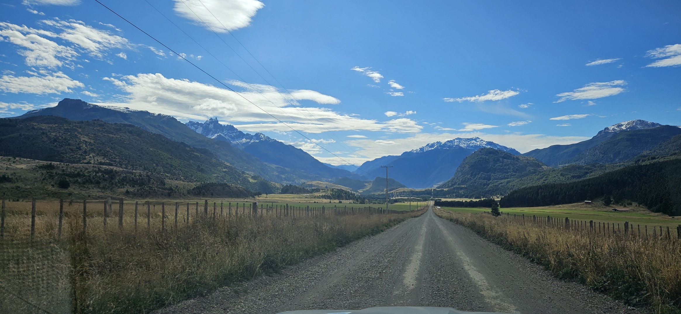
Three sections, three different journeys
North: Puerto Montt to Chaitén
The most complicated and the wettest part. This is where the ferries are, where the rainforest is thickest, and where planning pays off most. Without bookings you can lose a day waiting in a port.
Middle: Chaitén to Coyhaique
The most beautiful stretch and the easiest to drive. It passes Puyuhuapi and Queulat National Park with its hanging glacier. Coyhaique is the only real town on the route south of Puerto Montt, with banks, garages, a supermarket and a hospital, so this is where you restock everything.
South: Coyhaique to Villa O'Higgins
The driest, most open and emptiest section. It passes Cerro Castillo National Park, Lake General Carrera with its marble caves, and the Baker river. Tarmac, villages and fuel stations all thin out as you go. The final stretch is broken by a ferry and then ends at a dead end.
The ferries you cannot avoid
- Z Caleta La Arena do Puelche. Short, frequent, usually no booking needed.
- Hornopirén to Caleta Gonzalo. Two sailings with a short road link via Leptepu, and only a few departures a day. Book this one the moment you know your dates. Without a place on deck you are not getting further in January.
- Z Puerto Yungay do Río Bravo. In the south, before the final run to Villa O'Higgins. It runs several times a day (only twice in winter) and is free. Just do not miss the last departure, or you wait until morning.
Timetables change every season and some sailings do not run at all out of season. Check them just before you travel, not against an article a year old.
The surface, and how fast you really move
Tarmac has spread a lot over the past twenty years, especially around Coyhaique. The rest is ripio, meaning coarse gravel. On gravel you do fifty, on a good stretch sixty, and that is the average to plan a whole day around.
Two consequences of ripio the rental desk will not say out loud:
- The windscreen. A stone thrown up by an oncoming car is a matter of time, not luck. Glass cover is one of the few add-ons worth paying for here.
- The spare. Check it before you set off, not at the moment you need it. The nearest garage may be a hundred kilometres away.
How much time it takes
| Plan | Time | What you get |
|---|---|---|
| Whole route, one way | min. 10 days | you drive it, but barely stop |
| Whole route with stops | 2–3 weeks | Queulat, Cerro Castillo, lakes, rivers |
| Middle section from Coyhaique | 7–10 days | the best of Aysén, no ferries |
| Full route, there and back | 3–4 weeks | only makes sense because of flights |
The commonest mistake is planning the whole Carretera in ten days while imagining stops along the way. You are either driving or looking, because in Patagonia you do not get both at once.
Car and paperwork
- Where to get one. Usually Puerto Montt at the northern end, or Balmaceda airport and Coyhaique in the middle. Flying into Balmaceda puts you at the most practical point on the whole route.
- One-way rental. Picking up at one end and dropping at the other is possible, but the relocation fee tends to be steep. Price it before you plan the route.
- Into Argentina. You need separate permission from the rental company, arranged in advance. Without it the border will turn you around.
- What kind of car. Four-wheel drive is not essential, decent ground clearance and good tyres are. In season, cars are booked months ahead.
What not to skip along the way
- Queulat and its hanging glacier, a waterfall falling straight out of the ice a short walk from the road.
- Cerro Castillo, the region's most striking mountain and a four-day trek people are calling the new Torres del Paine.
- The marble caves on Lake General Carrera, with where, when and how.
- The Baker and Neff confluence, where two rivers of different colours refuse to mix for an hour.
What to avoid
- Letting the tank drop below half. Stations are sparse and some open only in daylight.
- Driving after dark. Gravel, cattle on the road, no barriers.
- Counting on a signal. Outside towns there is none. Download offline maps before you leave, not en route.
- Planning by kilometres. Plan by hours.
Where the road ends and the interesting part starts
The Carretera Austral opened up Patagonia, but only the part it passes through. The fjords to the west of it stayed exactly where they were: reachable only by water, with a local captain who knows the way.
That is a layer you will not see from a car. It is also why our expedition spends four of its twelve days on a boat rather than behind a wheel.