
Aysén in depth · Part 8 ·
The Aysén region:
a province younger than Czechoslovakia
Jaroslav Sokol · Aysén region, Chile · 9 min read
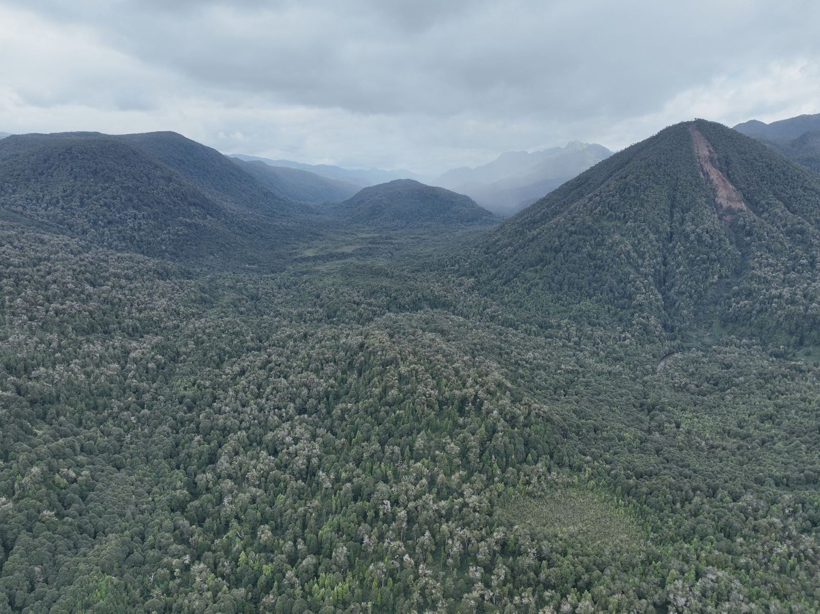
Where Aysén lies and how big it is
When Czechoslovakia came into being in 1918, the capital of the Aysén region did not yet exist. Coyhaique was founded eleven years later, in 1929, as a settlement around the administrative building of a cattle company.
That is the whole of Aysén in one sentence. A region a third larger than the Czech Republic, to which Chile sent its first settlers at a time when cars were running around Europe and aircraft were crossing the Atlantic.
This article is an introduction: where Aysén lies, why it is so empty and what has happened there over the past hundred and twenty years. It is also the first part of a series on Patagonia and its history, because without that history the landscape we travel into can only be photographed, not understood.
Región de Aysén, in full Región Aysén del General Carlos Ibáñez del Campo, is the eleventh region of Chile. It lies between the Los Lagos region to the north and Magallanes to the south, in the middle of Chilean Patagonia.
The numbers that say the most about it: the region covers 108,494 km², an area more than a third larger than the whole of the Czech Republic, and the 2024 census counted 100,745 inhabitants. That works out at 0.93 inhabitants per km², the lowest population density in Chile.
That last figure is hard to picture, so put it another way. If the Czech Republic were settled the way Aysén is, there would be seventy two thousand of us here in total, one smallish district town for the entire country.
Even that is misleading, because Aysén is not settled evenly. The municipality of Coyhaique has 57,823 people and the municipality of Aysén 23,170, which is eighty per cent of the region in two municipalities. The remaining twenty thousand or so are scattered across an area larger than the Czech Republic.
Three landscapes in one region
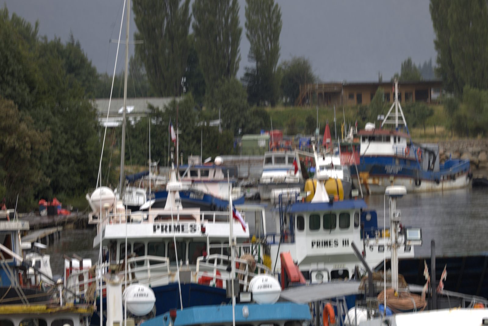
Aysén divides into three belts, and they differ so much that they feel like three separate countries.
The west is a labyrinth of fjords, channels and islands. The Chonos archipelago alone holds over a thousand islands. Rainfall here reaches 4,266 mm a year, against roughly 500 mm in Prague. This is where the Valdivian temperate rainforest grows, one of the last of its kind in the world.
The centre is the Andes and two icefields, the Northern and Southern Patagonian. Together they form the third largest reserve of fresh water on the planet, after Antarctica and Greenland. The San Rafael glacier, which I wrote about earlier, flows down from one of them.
The east, along the Argentine border, is dry: steppe, wind, and 730 to 1,200 mm of rain. Coyhaique lies here, and this is where cattle can be grazed, which, as you will see in a moment, explains the whole modern history of the region.
Between the western and eastern edges of Aysén there is a sixfold difference in rainfall, over a distance you would drive in two hours in the Czech Republic.
The people who were here first
Before the first Chilean appeared, three peoples lived in Aysén: the Chonos in the northern archipelagos, the Kawésqar further south in the channels, and the Aónik'enk (Tehuelche) on the steppes in the east.
The Chonos were canoe nomads. They lived practically on the water, in boats called dalca, sewn together from planks without nails. The men hunted sea lions, the women dived for shellfish and gathered seaweed. They kept small dogs that travelled with them in their boats, and the most valuable commodity for them was iron, obtained by trade or theft from the Spanish on Chiloé.
First contact with the Spanish came in 1553, on the expedition of Francisco de Ulloa. Two hundred years of slave raids followed, and in the 1740s the Spanish authorities cleared the archipelago, fearing that pirates might anchor there. The population was moved north, to Chiloé.
After the eighteenth century the Chonos disappear from the written record. The last mention of possible traces of nomads on the Taitao peninsula was written down by the author Benjamín Subercaseaux in 1946.
What is left of the Chonos language is place names and one catechism that nobody has translated to this day.
Why Chile did not come here for three hundred and fifty years
The Spanish had been sailing past Aysén since the middle of the sixteenth century, and they never settled there. The reasons were simple: there was no gold, no route through to anywhere, and access was poor from both directions, a labyrinth of channels from the sea and the wall of the Andes from the land.
The coast was not mapped until the British expeditions of Phillip Parker King and Robert FitzRoy between 1826 and 1836. On board the second of them, the Beagle, was the young Charles Darwin, who sailed through the Chonos archipelago and collected samples there.
The first permanent settlement in the region came only in 1859: Melinka in the Guaitecas archipelago, founded by the German Felipe Westhoff for the cypress timber trade. The Chilean navy then sent Enrique Simpson between 1870 and 1873 to survey the coast. The river and the valley you drive through today on the way to Coyhaique carry his name.
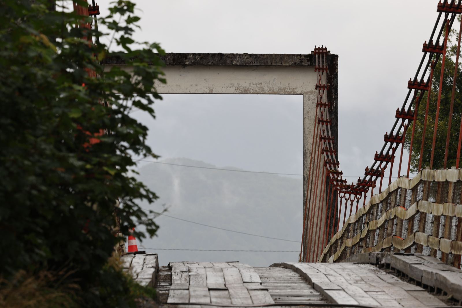
1902: the border that set everything in motion
The turning point did not come from Aysén but from a negotiating table. The treaty of 1881 and the British arbitration award of 1902 defined the border between Chile and Argentina, and a simple rule now applied: territory you do not actually occupy, you can lose.
Chile had a problem. Aysén was empty and the state had neither the money nor the people to settle it itself, so it took the cheapest option and leased it out.
In 1903 the Sociedad Industrial del Aysén was set up, financed with capital from Magallanes. It leased the Ñirehuao, Coyhaique and Mañihuales valleys, built a road from the eastern plains to the mouth of the Aysén river with a jetty at the end of it, which later became Puerto Aysén, and ran a regular shipping line to Puerto Montt. By about 1914 it was working at full capacity. Similar concessions went to the Anglo-Chilean Pastoral Co. and the Sociedad Explotadora del Baker.
The administrative compound of the Sociedad Industrial grew into the small town of Baquedano in 1929. Today it is called Coyhaique.
Fire as a tool of colonisation
This is the part of the history of Aysén that you will not find in any brochure, and it is the one thing that explains how today's landscape came about.
The concessions, and the later land grants, carried an obligation to improve the land. A settler received the paperwork for his plot only once he had cleared it. But there were no roads, no sawmills and no market for timber, so a single tool was left, one that everybody had and that cost nothing.
Fire.
In the first half of the twentieth century, according to estimates, more than three million hectares of forest burned in Aysén. That is more than half of the original southern beech (Nothofagus) cover, which extended over about five million hectares in the region. It is usually described as the largest forest fire in the history of Chile.
Whole river basins, the Baker, the Cisnes, the Simpson, the Erasmo and the Emperador Guillermo, turned into open ground. The problem is that southern beech forest is not an ecosystem used to fire and has no mechanism for dealing with it. The fire did not arrive as part of a cycle, it arrived as an ending, and where the forest tried to come back, cattle grazed it off.
The bare grey trunks standing above the water are not disease and not drought. They are what colonisation left behind.
Hectare after hectare, the same sequence followed: erosion, soil washed away, rivers and lakes silting up with sediment. What soil remained supported only marginal farming at the edge of subsistence.
The open landscape that every Patagonia guidebook photographs is not the original one. It is ash.
A practical note for the journey: when you see bare grey trunks without bark standing on a ridge in Aysén, in the middle of low green growth, you are not looking at a natural feature. You are looking at economic policy from the 1930s, and some of those trunks have been standing there for more than eighty years.
The Chile Chico war
The settlers, for their part, did not have an easy time with the big companies either.
From 1909 Chilean colonists settled on the southern shore of Lake General Carrera, having crossed the Andes from the Argentine side. In 1917 the state leased those same plots to the Swedish businessman Carlos von Flack, although people were already living on them.
The settlers refused to move out. They stood up to the carabineros sent to drive them off, killed three of them and pushed the rest back. Their leader was Antolín Silva Ormeño, known as the general.
The state cancelled the lease in the end, and the settlement later became the small town of Chile Chico. The events are still called the Guerra de Chile Chico, and in Aysén they are part of the local identity: a region that won itself against the state and against the big companies alike.
Settled within one generation
Laid out in a line, it becomes clear how quickly the whole thing happened.
1553, first contact between the Spanish and the Chonos on the expedition of Francisco de Ulloa. 1859, Melinka, the first permanent settlement in the region. 1902, the arbitration award fixes the border with Argentina. 1903, the concession for the Sociedad Industrial del Aysén.
1905, Puerto Ingeniero Ibáñez. 1917, Balmaceda, where the region's airport stands today. 1909, the first settlers at Chile Chico. 1918, the Chile Chico war.
1927, the Territorio de Aysén is created. 1928, Puerto Aysén is officially founded (28 January). 1929, Coyhaique, originally Baquedano. 1955, Tortel.
The settlement of Aysén as a whole took roughly seventy years. The people who founded those towns have grandchildren alive today, so when you talk to an old resident in Coyhaique, you are talking to the second or third generation, not the twentieth.
The road that arrived sixty years later
The towns existed, but a connection to their own country did not. Until the end of the 1980s there were two ways of getting from Aysén to the rest of Chile: by boat from Puerto Montt, or the long way round through Argentina. No road across Chilean territory existed.
Construction of the Carretera Austral (Ruta 7) began in 1976, under the military regime. The army engineering corps cut the route through, and from 1975 to 1985 more than ten thousand soldiers, mostly conscripts, worked on it. General Hernán Abad directed the work, and Pinochet is said to have visited it every year well into the 1990s.
It was passable in 1988. It reached Puerto Yungay in 1996, the last hundred kilometres to Villa O'Higgins were finished in 2000 and the spur to Caleta Tortel in 2003. It runs 1,240 km from Puerto Montt to Villa O'Higgins, and to this day the whole route cannot be driven without four ferry crossings. Continuous asphalt ends roughly at Villa Cerro Castillo, with paving gradually extending south.
Until 1988 you got from Coyhaique to Santiago by boat or through a foreign country. By that time Prague had had a metro for fourteen years.
Aysén as you will find it today
Three events of the last thirty years explain why the region has the character it has.
The eruption of Hudson, August 1991. One of the largest eruptions in South America in the twentieth century. The ash cloud rose to 16 to 18 kilometres, the ash covered more than 100,000 km² and reached as far as the Falkland Islands. The Argentine province of Santa Cruz declared a state of emergency, and sheep farming in the affected areas collapsed for years.
HidroAysén. A scheme for five large dams on the Baker and Pascua rivers with a capacity of 2,750 MW. It was approved in May 2011, rejected by the government in June 2014 after massive opposition, and definitively cancelled in 2017. The Patagonia sin represas campaign was the largest environmental movement in the history of Chile, partly because the project would have required one of the longest transmission lines in the world, more than 1,900 kilometres long.
The protests of 2012. Under the slogan Tu problema es mi problema ("Your problem is my problem") the region blocked itself off for several weeks and negotiated with the state over fuel prices, health care and a university. Aysén did not present itself as a supplicant but as a partner.
There are less romantic figures to go with all this: nearly half of Chilean salmon is produced in Aysén today. The fjords we sail into are also an industrial aquaculture zone. The region has adopted the motto Aysén, reserva de vida, Aysén, a reserve of life, and at the same time it is working out what will fit inside that reserve.
What to take from this before you go
Three things that changed the way I look at the landscape I drive through:
Emptiness is not untouched country. Aysén is not empty because nobody was ever there. It is empty because it was hard to stay, and because a large part of what grew there burned.
The grey trunks are a monument. Do not romanticise them. They are the remains of a specific decision by specific people whose alternatives were not much better.
Ask people. The history of Aysén is short enough that it is within reach. Your host's grandmother probably remembers the road arriving.
Aysén cannot be driven through, which is probably the main thing to say about it. You can only enter it, slowly, and in the knowledge that the landscape is far younger and far more scarred than it looks at first sight.
I will guide you through the Aysén region in person - 12 days among fjords and steppe.
About the expeditionWritten from Aysén
What didn't fit in the article
Every so often I send an email about what is happening in Aysén, new articles like this one, and chapters of Václav Nový's memoirs, which I translate from the Spanish. When places open on an expedition, I'll mention it in one line. Nothing else.
Two emails a month at most. One-click unsubscribe. Your address is never shared, privacy policy.
All articles
Patagonia from scratch · series
Series part 1 · The Aysén region: a province younger than Czechoslovakiayou are hereAysén in depth
Darwin in the Chonos Archipelago: what he wrote in his diary29 Sep 2026 Whales, orcas and dolphins in Aysén: what you will actually see15 Sep 2026 The Ring of Fire in Aysén: volcanoes, a fault and a fifty-metre wave14 Sep 2026 24 min listenGuides
Aysén or Torres del Paine? A comparison for the undecided5 Oct 2026 Patagonia: Chile or Argentina? How to choose4 Sep 2026 7 min listen What a Trip to Patagonia Really Costs26 Aug 2026 8 min listen Carretera Austral: What Driving It Actually Takes21 Aug 2026 7 min listen When to Fly to Patagonia: Months, Light and Flights17 Aug 2026 5 min listen Patagonia Without the Crowds: Where to Go Instead7 Aug 2026 8 min listen Chile's Marble Caves: How to Get There29 Jul 2026 5 min listen Cerro Castillo: The Trek They Call the New Torres del Paine22 Jul 2026 7 min listenBefore you book
Patagonia Tour or Small Expedition?22 Aug 2026Expedition journal
San Rafael Glacier: The Day the Glacier Spoke5 Aug 2026 2 min listen