
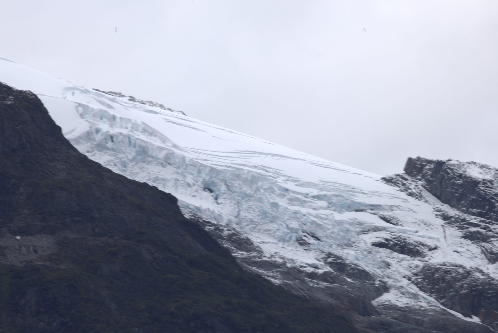
Landscape
The Aysen region is shaped by glaciers, fjords and volcanic activity. The landscape is a mixture of Patagonian steppe in the east and dense Valdivian rainforests in the west. Fjords carve deep into the mainland, creating thousands of islands, straits and hidden coves. Elevation ranges from sea level to Andean peaks over 4,000 meters high.
The Northern Ice Field (Campo de Hielo Norte) covers nearly 4,000 km² and is the largest glacier mass in the Southern Hemisphere outside Antarctica. Dozens of glacial tongues flow from it into fjords and lakes. The San Rafael Glacier, accessible from a lagoon of the same name, is one of the world's lowest-elevation glaciers - its terminus breaks into seawater just 200 meters above sea level.
The Northern Ice Field covers nearly 4,000 km² - the largest glacier mass in the Southern Hemisphere outside Antarctica.
Climate
Weather is variable and influenced by Pacific storm systems. Annual rainfall reaches 3,000-4,000 mm in the west, with the eastern part considerably drier. Summer (January-March) brings temperatures of 10-18 °C and the longest days. Wind is a constant companion - average speeds around 30 km/h are not uncommon.
Four seasons can alternate in a single day. Morning might bring sunshine, noon brings rain, afternoon brings an icy wind from the Andes, and evening clears again. Locals say that whoever can't tolerate Patagonian weather can't tolerate Patagonia. Proper clothing and a flexible plan are keys to a comfortable stay.
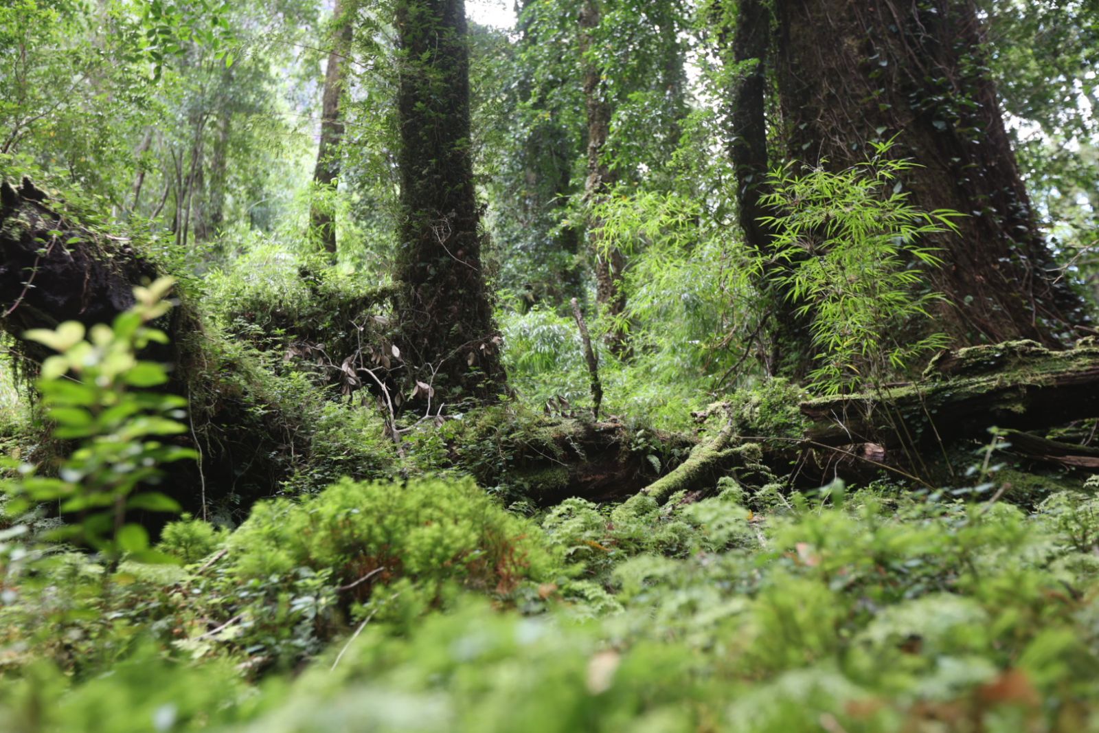
Valdivian temperate rainforest
Nature
Valdivian temperate rainforests rank among the planet's oldest ecosystems. They are dominated by alerce trees - living for over 3,000 years. On land, you'll find pudu (the world's smallest deer), Andean condors, huemul (South Andean deer featured on Chile's national coat of arms) and dozens of endemic bird species. The ecosystem remains largely untouched due to the region's isolation.
In the fjords and channels live colonies of South American sea lions, Chilean dolphins and Peale's dolphins, with occasional visits from humpback whales and southern right whales. The seafloor is covered with giant kelp forests that create an underwater ecosystem comparable to coral reefs. Ornithologists record over 200 bird species here, including albatrosses, cormorants and kingfishers.
Carretera Austral
The Carretera Austral is a 1,240 km highway running from Puerto Montt in the north to Villa O'Higgins in the south. Construction began in the 1970s under Augusto Pinochet's regime and took over 20 years. Much of it remains gravel to this day, and it's interrupted in several places - ferries form part of the route.
The road passes by the turquoise General Carrera Lake (Chile's largest), through the town of Coyhaique and along the Baker River - the most water-abundant river in Chile. It's considered one of the world's most beautiful highways and attracts thousands of cyclists and adventurers annually.
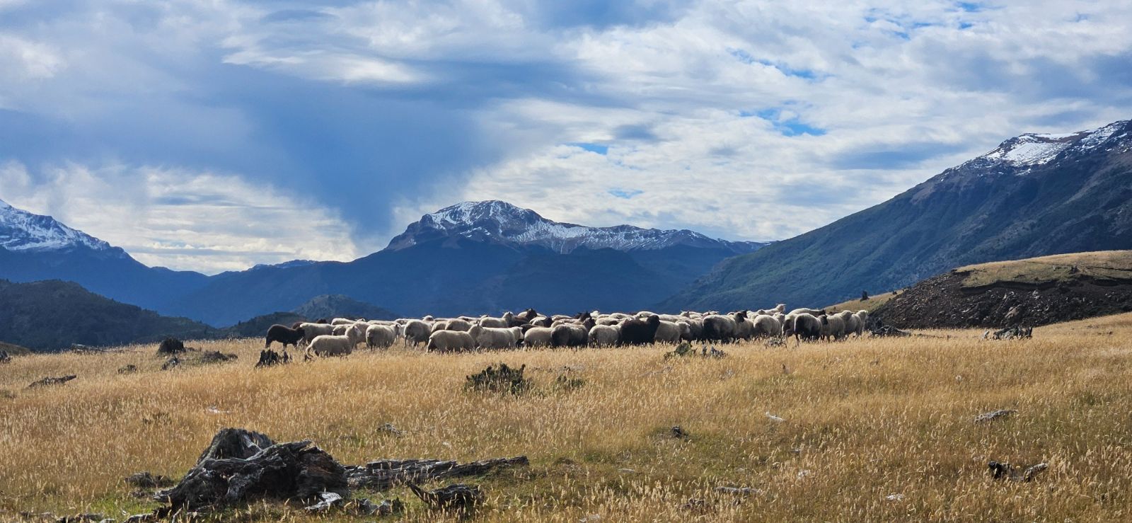
Patagonian steppe along the Carretera Austral
Transport
The main gateway to the region is Balmaceda Airport (BBA) with direct flights from Santiago (about 2.5 hours). From there it's an hour's drive to Coyhaique, the region's capital. From Coyhaique, roads lead to Puerto Aysen and the port of Puerto Chacabuco, from where you can continue by ferry or boat. Many places in the region are accessible only by water or small aircraft - this very isolation is what makes Aysen exceptional.
Thermal springs
The thermal springs of the Aysen region spring up in the heart of the Valdivian rainforest - one of the oldest temperate rainforests on the planet. Volcanic activity in the Andean belt has created dozens of hot springs with temperatures ranging from 35 to 50 °C. Indigenous peoples came here for the healing properties of the water, and the spa tradition continues today.
Some thermal springs are commercially operated, while others lie deep in the rainforest accessible only on foot or by boat. Bathing in hot water surrounded by ancient Valdivian rainforest trees, where the only sounds are cracking branches and birdsong, is one of Aysen's defining experiences. Some springs sit right on fjord shores - you bathe in hot water while gazing at glaciers.
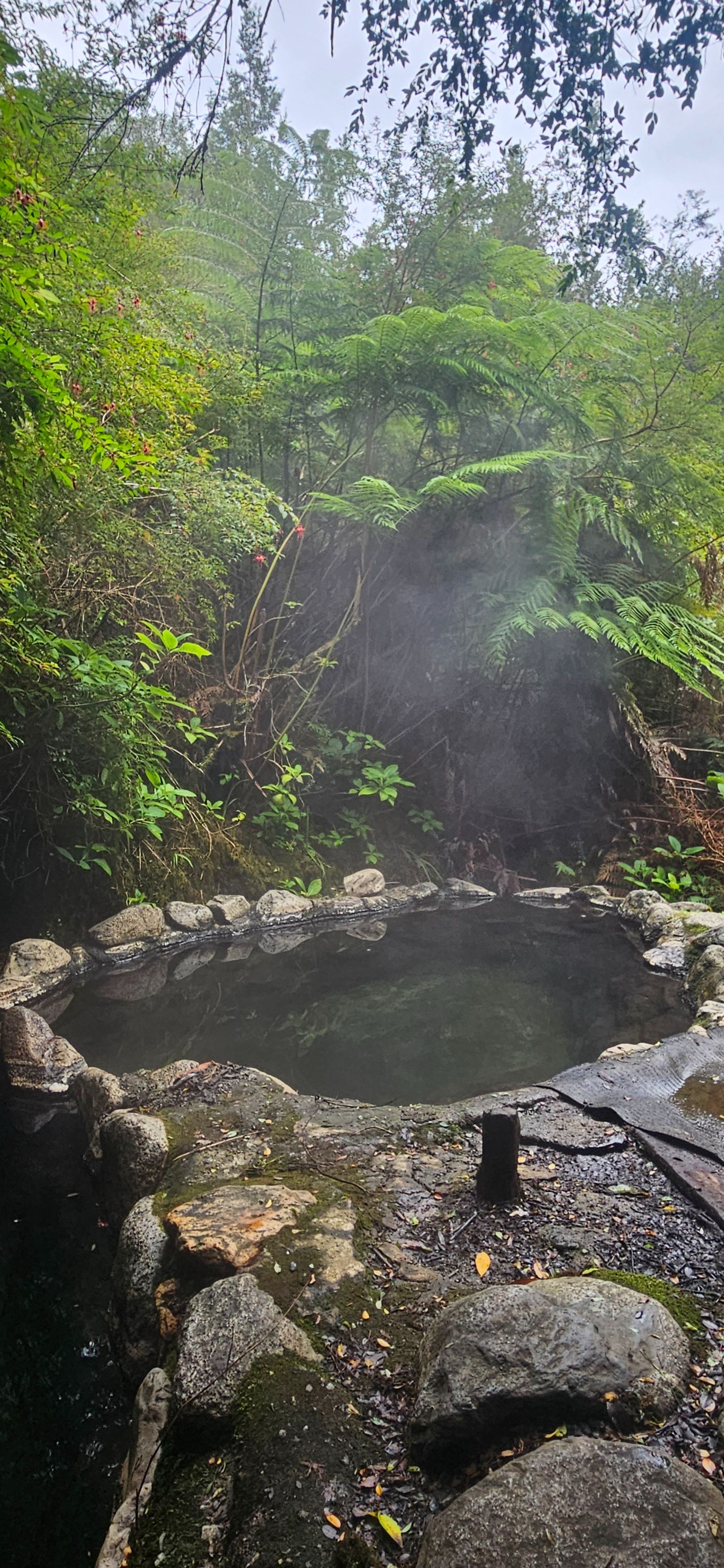
Natural thermal springs in the Valdivian rainforest
Want to experience this for yourself?
12-day private expedition through Fjord Aysen. Thermal springs, glaciers, rainforests - with no compromises.
Learn more →Immerse yourself in hot water in the heart of the Valdivian rainforest, where people have sought healing for centuries - that is a defining experience of Aysen.
History
The region's original inhabitants were the Chonos - nomadic canoeists who for thousands of years navigated the fjords and channels in wooden boats (dalcas). To the south lived the Kawésqar, masters of survival in one of the planet's harshest climates. Both peoples were decimated by European diseases and colonization in the 18th-19th centuries. Today, only a handful of Kawésqar descendants remain in the settlement of Puerto Edén.
Chilean colonization of Aysen began only in the early 20th century - much later than the rest of the country. First settlers came via the Argentine pampas, since there was no road from the Chilean side. They founded small estancias (ranches) and made their living herding sheep and cattle. Settlement was accompanied by extensive forest fires - thousands of hectares of rainforest were deliberately burned to create pasture.
The capital, Coyhaique, was officially founded only in 1929. The region remained isolated from the rest of Chile for a long time - the road connection via the Carretera Austral wasn't completed until the 1980s. This late integration is one of the reasons why Aysen has retained its wild character.
National parks
The Aysen region has 17 protected areas covering over 50% of its territory. Queulat National Park is famous for the hanging glacier Ventisquero Colgante - a glacier lobe hanging over a cliff with two powerful waterfalls plunging from its face into a turquoise lake below. It's accessible via a short trek from the Carretera Austral.
Laguna San Rafael is home to the eponymous glacier, which calves directly into a marine lagoon. It's one of only a few glaciers in the world accessible by boat from sea level. Cerro Castillo Park offers dramatic granite towers resembling a castle and one of Chile's best multi-day treks. In recent years, Patagonia Park was added - an ambitious project by American philanthropist Doug Tompkins connecting private and state lands into a vast nature reserve around the Chacabuco River.
Other significant protected areas include Cerro Castillo National Park (a national park since 2017), Isla Magdalena National Park with dense forests and fjords, and the Lago Las Torres National Reserve. Park fees here are modest and there is no need to book months ahead - unlike the crowded Torres del Paine to the south.
Gastronomy
The cuisine of the Aysen region is built on seafood and lamb. Centolla (king crab) is a local delicacy - served fresh, boiled in seawater, right on the boat or in small restaurants in Puerto Aysen. Erizos (sea urchins) are eaten raw with lemon and are a gastronomic experience for many travelers.
Cordero al palo - lamb roasted on a cross over an open fire - is the traditional dish of Patagonian ranchers. Preparation takes 4-6 hours and results in crispy, juicy meat with a smoky aroma. Curanto is another traditional dish: seafood, meat and potatoes cooked in a pit on hot rocks, covered with nalca leaves (giant rhubarb).
Recent years have seen a craft brewery scene flourishing in Coyhaique, and local producers are beginning to process wild herbs, mushrooms and forest fruits. Calafate (barberry) is an iconic Patagonian fruit - local legend says whoever tastes it will return to Patagonia again and again.
Activities
Aysen is a paradise for outdoor lovers. The Baker River and Futaleufú River rank among the world's best for rafting and kayaking - Baker for its water volume, Futaleufú for technical difficulty. Sea kayaking in fjords and channels offers intimate contact with nature - paddling between glacier walls, around sea lion colonies and under waterfalls.
Trekking in the region is wilder than in touristically developed parts of Patagonia. The Cerro Castillo circuit (4 days) is the most popular, but dozens of unmarked trails lead to valleys, glaciers and mountain lakes. Fly-fishing on Aysen's rivers and lakes attracts anglers from around the world - the trout and salmon here reach impressive sizes in crystal-clear water.
Glacier treks on the Northern Ice Field are experiences for advanced adventurers. Boat trips to the San Rafael Glacier, where you watch ice calving into the lagoon, rank among South America's most spectacular natural shows. In winter (June-September), you can ski near Coyhaique - the small El Fraile ski resort offers runs with views over the endless Patagonian landscape.
Practical info
The best time to visit is November to March (Southern summer). January and February are the warmest months with the longest days - the sun rises before 6 am and sets after 10 pm. December and March are quieter and cheaper, with still-pleasant weather. Winter (June-August) is cold and rainy, but offers empty roads and snow-covered landscapes.
Clothing must account for four seasons in one day. Layering is key: thermal underwear, fleece or an insulating layer, and a waterproof, windproof jacket. Quality hiking boots are essential. Sunglasses, high-SPF sunscreen and a cap are necessary even in summer - UV radiation in Patagonia is intense due to proximity to the ozone hole.
The region is safe - crime is minimal. Mobile signal works in Coyhaique, Puerto Aysen and along the main road, but coverage is zero outside towns and in the fjords. A satellite communicator is recommended for longer wilderness excursions. ATMs are scarce in the region - it's good to always carry cash in Chilean pesos.
Expedition area
Fjord Aysen
The heart of our expedition. A 70 km fjord where the Aysen River flows into the Pacific, surrounded by rainforest walls and Andean peaks.
70 km
fjord length
345 m
max depth
45°24'S
latitude
8-14 °C
water temperature
Geography
Fjord Aysen was formed by glacial erosion during the last ice age. It runs from the mouth of the Aysen River at Puerto Aysen westward to the Pacific, where it opens into the Moraleda Channel at Puerto Chacabuco. Steep slopes covered with dense rainforest squeeze the fjord on both sides, rising in some places more than 1,500 meters directly from the water.
The fjord is fed by dozens of waterfalls cascading down slopes directly into the sea - especially after rain, you can count hundreds. The water in the fjord is a uniquely stratified mixture: a surface layer of fresh river water (greenish from glacial sediment) floats above saltier, warmer water from the Pacific. This phenomenon creates specific conditions for marine life.
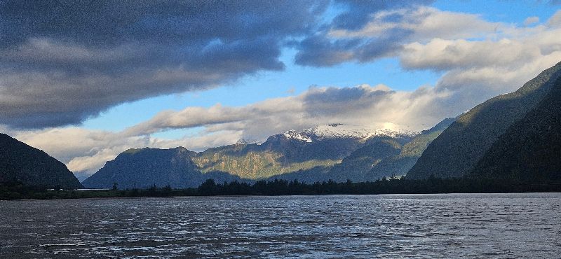
Fjord Aysen from the expedition vessel deck
Puerto Aysén
Puerto Aysen was founded in 1928 as the region's main port. In the 1960s, the port was partially silted up by sediment from the Aysen River and major shipping moved to Puerto Chacabuco. Today, Puerto Aysen is a quiet town with about 23,000 residents, a fishing port and the gateway to fjord expeditions.
Near the town stands the Presidente Ibáñez suspension bridge - one of Chile's longest suspension bridges - and several scenic trails to surrounding hills. Puerto Chacabuco, 15 km to the west, serves as a ferry terminal and gateway to fjord trips.
Islands and channels
At the fjord's mouth sprawls a labyrinth of islands, channels and narrow straits. Most have no names and no permanent inhabitants. Some islands are so steep that you can't climb them - rainforest grows directly from rock over water. Others hide small sheltered coves, ideal for anchoring.
The Moraleda Channel, extending from the fjord toward the open ocean, was a historic route of the indigenous Chonos - nomadic canoeists who inhabited the area for thousands of years. Traces of them, in the form of stone tools and shell middens, are still found on some islands.

Glacier near the Moraleda Channel
Marine life
The Moraleda Channel and Fjord Aysen rank among the richest marine ecosystems of Chilean Patagonia. Rock outcrops at the fjord mouth harbor colonies of South American sea lions, and boats are regularly escorted by pods of Chilean dolphins and Peale's dolphins - both species living here year-round.
A true highlight is encountering the great whales. Humpback whales appear in the Moraleda Channel and adjacent waters, returning here on their migration route from Antarctica to tropical regions. The waters around Aysen are also visited by sei whales - the third-largest animal on the planet - attracted by rich stocks of krill in the cold currents. More rarely, you might spot blue whales, the largest creatures ever to live on Earth, which find ideal feeding grounds in the nutrient-rich waters of the Chilean fjords. Orcas (killer whales) move through the Patagonian channels practically year-round, hunting sea lions, seals and other marine mammals.
Best viewing season: December through March, when the Moraleda Channel sees the highest concentration of large whales. Humpback and sei whales follow the summer surge of krill and plankton in the cold fjord waters. Dolphins and orcas can be encountered all year round.
Underwater lie forests of giant kelp (Macrocystis pyrifera), reaching over 30 meters in length and creating habitat for hundreds of fish and invertebrate species. Local fishermen harvest centolla crabs (king crabs), sea urchins and salmon - the region is one of the centers of Chile's salmon industry.
Why here
Fjord Aysen is not Torres del Paine. There are no marked trails, visitor centers or crowds. That's exactly why we chose it. The area around the fjord offers authentic contact with wilderness - unfiltered, uncompromised, without throngs. The two are compared in Aysén or Torres del Paine?
Our expedition operates from Puerto Chacabuco and moves by boat through the fjord and adjacent channels. We combine sailing with shore excursions - rainforest walks to waterfalls, visits to thermal springs, marine wildlife observation and stops at remote coves you can't reach any other way.
From the blog
The Aysén region: a province younger than Czechoslovakia → The Ring of Fire in Aysén: volcanoes, a fault and a wave 24 min listen → Patagonia Without the Crowds: Where to Go Instead 8 min listen → Whales, orcas and dolphins in Aysén: what you will actually see → All articles →