
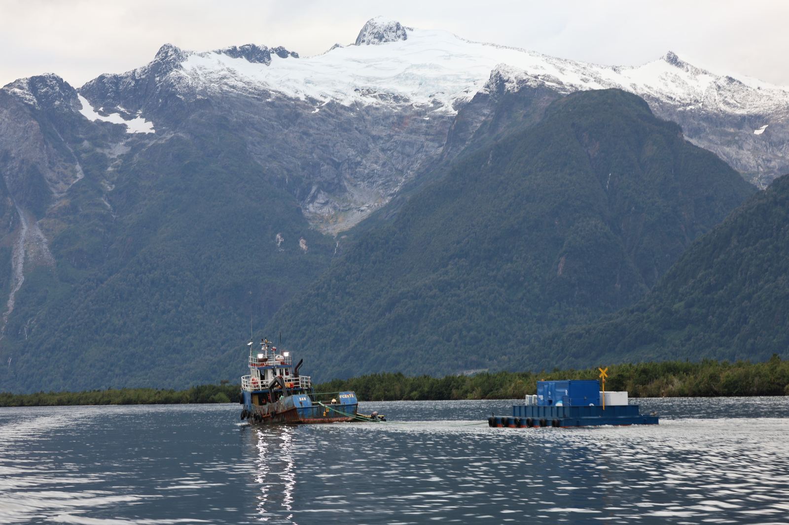
The marble caves are the most photographed thing in the whole Aysén region and also a place plenty of people reach on the wrong day and leave disappointed.
Not because they are overrated, but because visiting them depends on three things you cannot buy: wind, water level and light.
Where they actually are
The Capillas de Mármol sit on the shore of Lake General Carrera, Chile's largest lake, which it shares with Argentina (on the Argentine side it is called Buenos Aires). The base is the village of Puerto Río Tranquilo on the Carretera Austral, roughly 220 kilometres south of Coyhaique.
The formations come in three parts, and the names get muddled in practice: Capilla (chapel), Catedral (cathedral) and Cavernas (caves). They are marble formations the lake has worn out with wave action over roughly six thousand years.
Getting there
- By car along the Carretera Austral south from Coyhaique. Allow four to five hours rather than three, because part of the route is gravel.
- By bus from Coyhaique. Services exist but are infrequent and do not run daily. Check them in advance and expect to travel on their schedule, not yours.
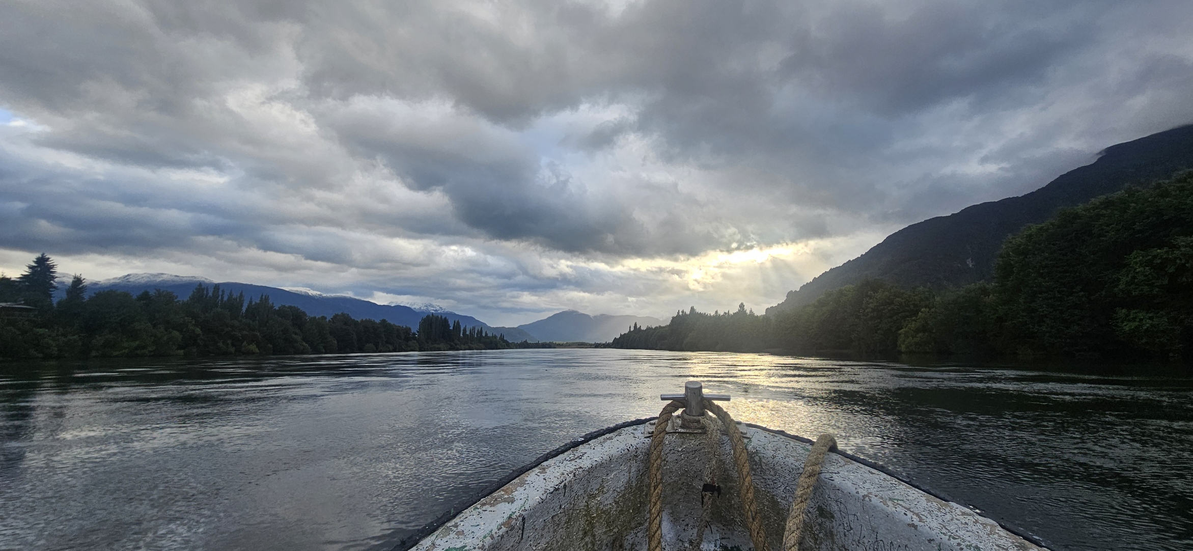
- From Puerto Río Tranquilo by boat. The last leg is always on water; there is no other way in. The crossing takes about half an hour.
When to go so the water has that colour
The turquoise in the photographs is not retouching but glacial flour suspended in the water. But you only see it that way under certain conditions:
- Morning. Wind on the lake usually builds through the day. Morning departures get calmer water and better light.
- January and February. Peak season, most departures, longest days.
- A lower water level. When the water is lower, more of the formations shows and boats get further inside. The level varies year to year with melt.
- Sun helps but is not essential. The colour still works under cloud, just muted.
And the thing no website tells you: in strong wind nobody sails. That is not an operator's whim, it is safety. Which is why this is not a place to visit on a single day.
Boat, kayak, or both
| Boat | Kayak | |
|---|---|---|
| Duration | about 1.5 to 2 hours | 2–3 hours |
| Price | lower | several times higher |
| How close you get | enters the formations | further, into narrower gaps |
| Experience needed | none | basic, guided |
| Sensitivity to wind | high | higher still |
If you only get one attempt, take the boat, because it is cheaper, shorter and sails in conditions that cancel kayaks. If you have two days and want an experience rather than a viewing, try the kayak.
Four mistakes people arrive with
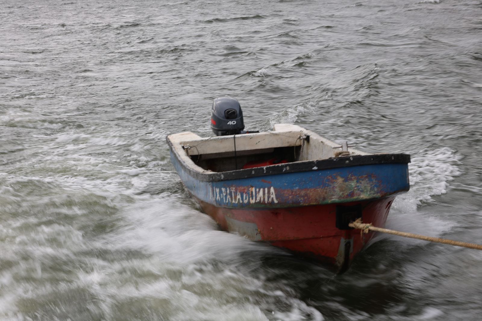
- "It's a cave, we'll walk in." It is not. It is a rock formation on the lakeshore, accessible only from the water. There is no walking to it.
- "We'll fit it in on the way." You will not. If it is windy in the morning nobody sails, and the next attempt is the afternoon or the following day.
- "That colour is Photoshop." It is not, but it is variable. On a grey day with a choppy lake you will see grey stone.
- "No need to book." In January and February booking is worth it, especially for morning departures and for kayaks.
How much time, and where to sleep
The realistic plan is two days: arrive in the afternoon, sleep in Puerto Río Tranquilo, sail in the morning. If it blows at dawn, you still have a second attempt.
Puerto Río Tranquilo is a small village living off this single attraction. Accommodation is in family guesthouses, there are a handful of restaurants, and in season it fills up. Leave the booking to the last minute and you may end up fifty kilometres away.
What else is nearby
- The Exploradores valley, a turning west towards the San Valentín glacier.
- The Baker and Neff confluence, where two differently coloured rivers refuse to mix, about two hours south.
- Cerro Castillo on the way back north, the best trek in the region.
The marble caves are the best thing you can see in Aysén from the road. The rest of the region, meaning glaciers ending in a lagoon and the inner fjords, begins where the road stops. That is another article.