
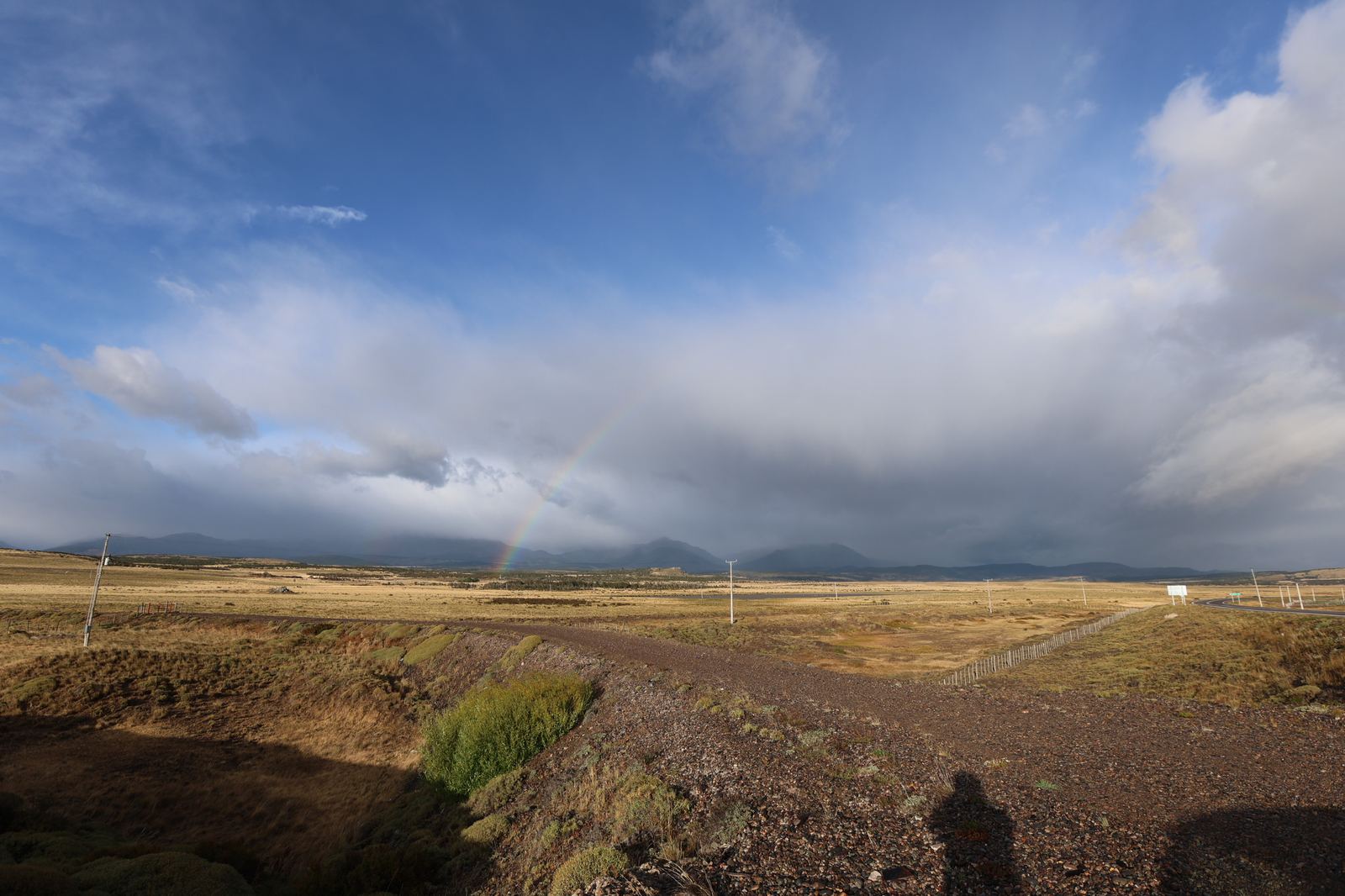
English-language guides increasingly call it "the new W trek". It is marketing shorthand, but it is not entirely wrong, and what sits behind it is more interesting than the label.
Cerro Castillo is a jagged rock wall above the Carretera Austral that looks like a castle, which is where the name comes from. The traverse beneath its face is the best multi-day trek in the whole Aysén region, and so far only a fraction of the people heading south have heard of it.
Why the nickname
Because it offers the same raw material as the famous south: granite and basalt walls, glacial lagoons, passes with views tens of kilometres deep. And because it is a route you can walk in a few days without technical gear.
There are three differences, all of them in Cerro Castillo's favour:
- You will not meet crowds. Not even in January.
- You do not book half a year ahead. Campsites are not sold like concert tickets.
- It is cheaper. There is no commercial infrastructure, so there are no refuge fees and no packages.
And one difference against it: there are no refuges. You sleep in your own tent, carry your food, and nobody cooks for you at night. If you are used to southern service, this is a different discipline.
Where it is
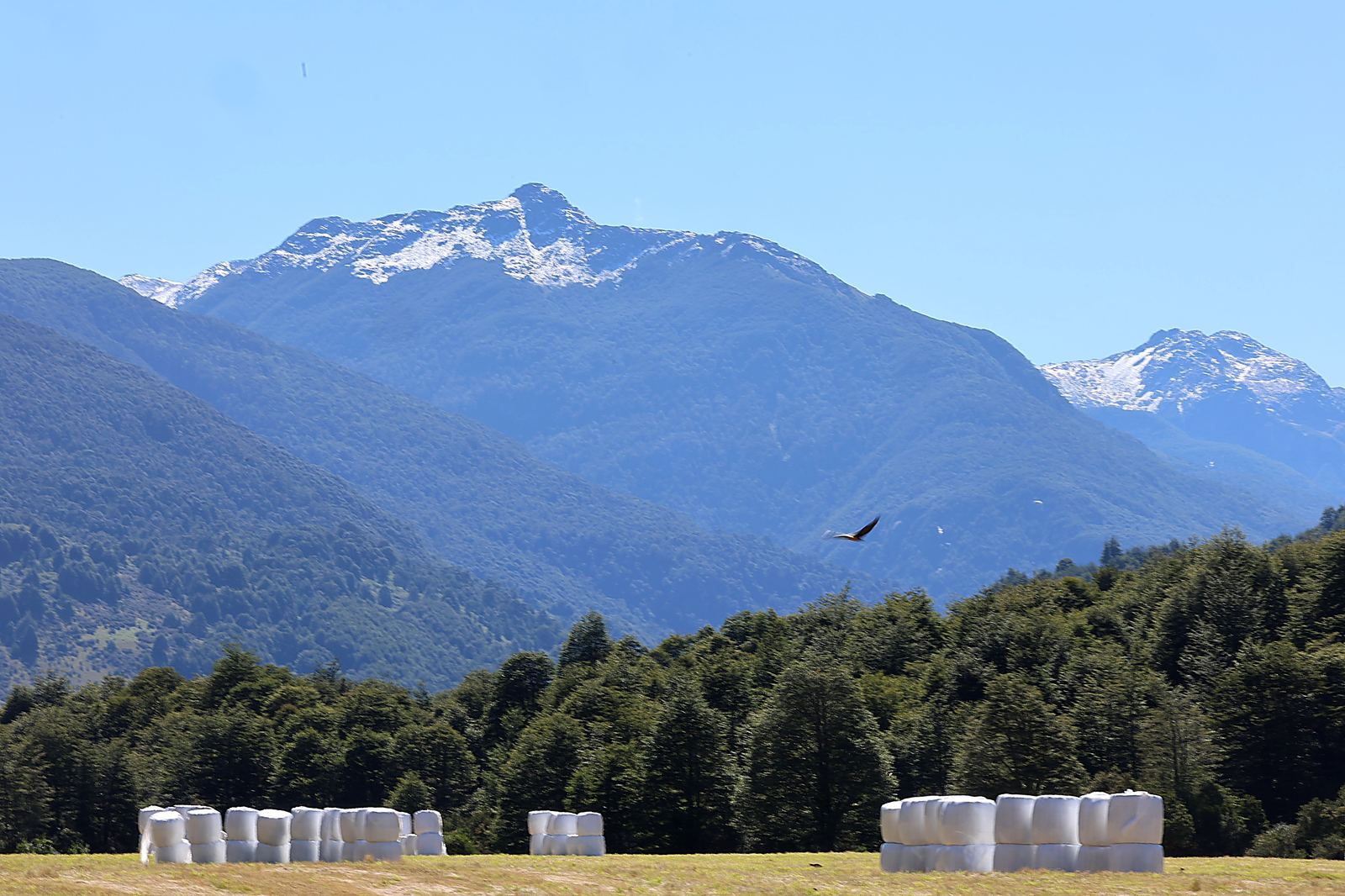
Cerro Castillo National Park lies roughly 64 kilometres south of Coyhaique, right on the Carretera Austral. It became a national park relatively recently; before that it was a nature reserve. The nearest village is Villa Cerro Castillo, where the traverse ends.
Coyhaique is reached by air via Balmaceda, an hour away by road. Buses heading south along the Carretera Austral also serve the park, but not often.
The route
The classic traverse starts at Las Horquetas on the Carretera Austral and ends in Villa Cerro Castillo. It takes four days and covers roughly 42 to 54 kilometres depending on the variant.
| Day | Section | Character |
|---|---|---|
| 1 | Las Horquetas → Río Turbio | gentle climb up the valley, repeated river crossings |
| 2 | Río Turbio → El Bosque | first pass, views onto glaciers |
| 3 | Pass under the wall → Laguna Cerro Castillo | hardest and best day |
| 4 | Descent to Villa Cerro Castillo | long downhill stretch |
The high point of day three is a pass looking straight down onto a glacial lagoon beneath the Cerro Castillo wall. That is the photograph people come for.
Difficulty: be honest with yourself
It is not technical terrain; you need neither rope nor crampons. But it is not a stroll either:
- Your own pack for four days including tent, sleeping bag, stove and food. That is fifteen to twenty kilos.
- River crossings. On day one the river is forded repeatedly. The water is glacial and rises after rain.
- Wind in the pass. Patagonian wind at altitude is a different category from wind in the valley.
- Weather changes within the hour. Snow in January is not out of the question.
If you do multi-day walks in Europe carrying your own kit, you will manage. If you are used to a mountain hut with dinner waiting, start with the day version.
The day version
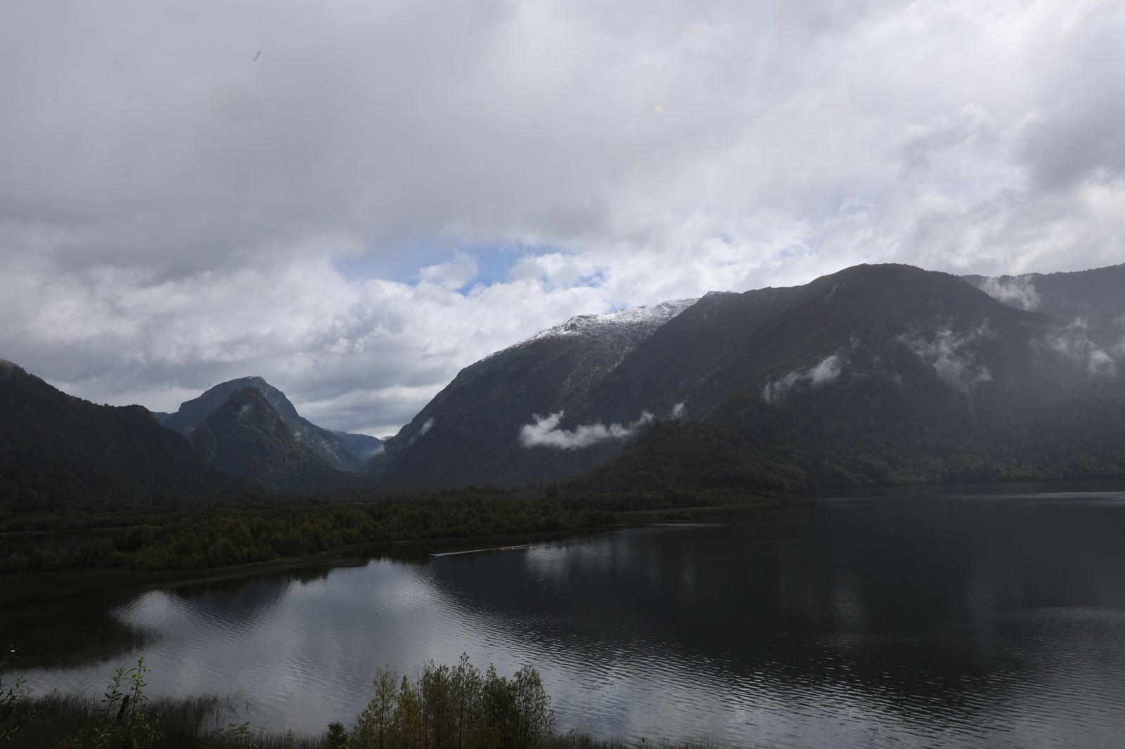
From Villa Cerro Castillo a single-day climb leads directly to Laguna Cerro Castillo, the same place the traverse reaches on day three. It is a long, steep, demanding day, but you sleep in a bed and carry no tent.
For most people driving the Carretera Austral, this is the sensible choice. You get the view without losing three days.
Registration and season
- Registration is compulsory: buy your ticket online in advance and register with CONAF, the Chilean park service, at the entrance. Camping is permitted only at designated sites. CONAF opens some sections only to hikers with a certified guide depending on conditions, so check the current status before you travel.
- The season runs roughly from December to April for independent hikers, best from January to March. CONAF announces the exact opening date each year according to snow, so check it before you travel rather than against an article.
- The best window is January and February: longest days and the lowest chance of snow in the pass. Why those months.
- Out of season a winter regime applies: access only with a certified guide and under CONAF rules, and the pass is under snow.
An honest comparison with the W
| Cerro Castillo | Torres del Paine, W trek | |
|---|---|---|
| Length | 4 days, 42–54 km | 4–5 days, 70–80 km |
| Accommodation | your own tent | refuges and campsites |
| Booking | online ticket in advance, registration at the entrance | months ahead |
| People on the trail | dozens a day | hundreds a day |
| Cost | low | high |
| Who can do it | self-sufficient walkers | less experienced too |
The W is better if you want certainty, service and no tent to carry. Cerro Castillo is better if you want the same landscape and would rather not share it. For the whole park against the whole region, see Aysén or Torres del Paine?
What not to pack
- Cotton. In Patagonia it dries once you are home.
- New, unworn boots. Day four will explain why.
- A plan with no spare day. The weather will take one sooner or later.
- Any expectation of a signal. There is none in the park.
If you can do this
Cerro Castillo is a good test. If you can carry four days of kit through Patagonian weather, you can handle almost anything in this region, including days on a boat in a fjord, where the terrain is easier but the remoteness is greater.
And if you discover that tents and river crossings are not for you, that is useful too. You found out somewhere help is four hours away, rather than sixteen.